Coastal Paths
Use the map to plan your trip to the Dee Estuary.


Wales Coast Path
The Wales Coats Path is managed by Natural Resources Wales and covers the entire coastline of Wales.
The Wales Coast Path website is very comprehensive resource and should be your primary source of information when planning your trip around the Welsh coast.
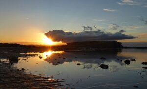
The section around the Dee Estuary features some spectacular scenery and some fascinating history.
The Burton Marsh Greenway
The Burton Marsh Greenway, an almost completely Asphalt path, takes you from Shotton, through the Deeside Industrial Estate, where you will need to be aware of traffic on your route, up to Neston with a possible detour to Burton on route. At Neston you can join the Wirral Way.

The Wirral Way
The 12 mile long Wirral Way has been created using a disused railway line that was previously part of a circular railway route around Wirral.
Maintained by Wirral Council it is a wide, flat path that also features a bridleway for horses and is part of Route 56 on the National Cycle Network.
Spanning mid-Wirral beginning near to the West Kirby Railway Station and finishing at Hooton Railway Station, this path will take you through various green spaces, along coastal cliffs, over sandy beaches and through Wirral Country Park.
King Charles III England Coast Path
The King Charles III England Coast Path is complete with the stretch from Birkenhead to the Welsh border celebrating its opening in early 2025.
Natural England, working alongside the Wirral and Cheshire West and Chester Councils, have installed signs to guide visitors along the section of the King Charles III England Coast Path along the English side of the Dee Estuary.
Visit these websites to find out more: